Geo Validator
Admit bounded geolocation files, preserve the original, and surface format, CRS, geometry, and association issues.
Explore Geo ValidatorValidate the boundary first, screen it with FAO Open Foris WHISP, then preserve the result and its limitations beside supplier evidence and the reviewer’s decision.
The free trial sends one validated area plot to FAO Open Foris WHISP and returns the country, area, dataset version, timestamp, source indicators, and an evidence hash. Your team still makes the business decision.
Prepare the complete data and geolocation files for manual DDS submission, then keep the official receipt together with the fuller Filing Pack.
Explore DDS & FilingEvery result identifies the affected object, evidence, rule version, and next action. Reruns create new results instead of rewriting history.
120 units · 8,640 kg · Poland → Germany
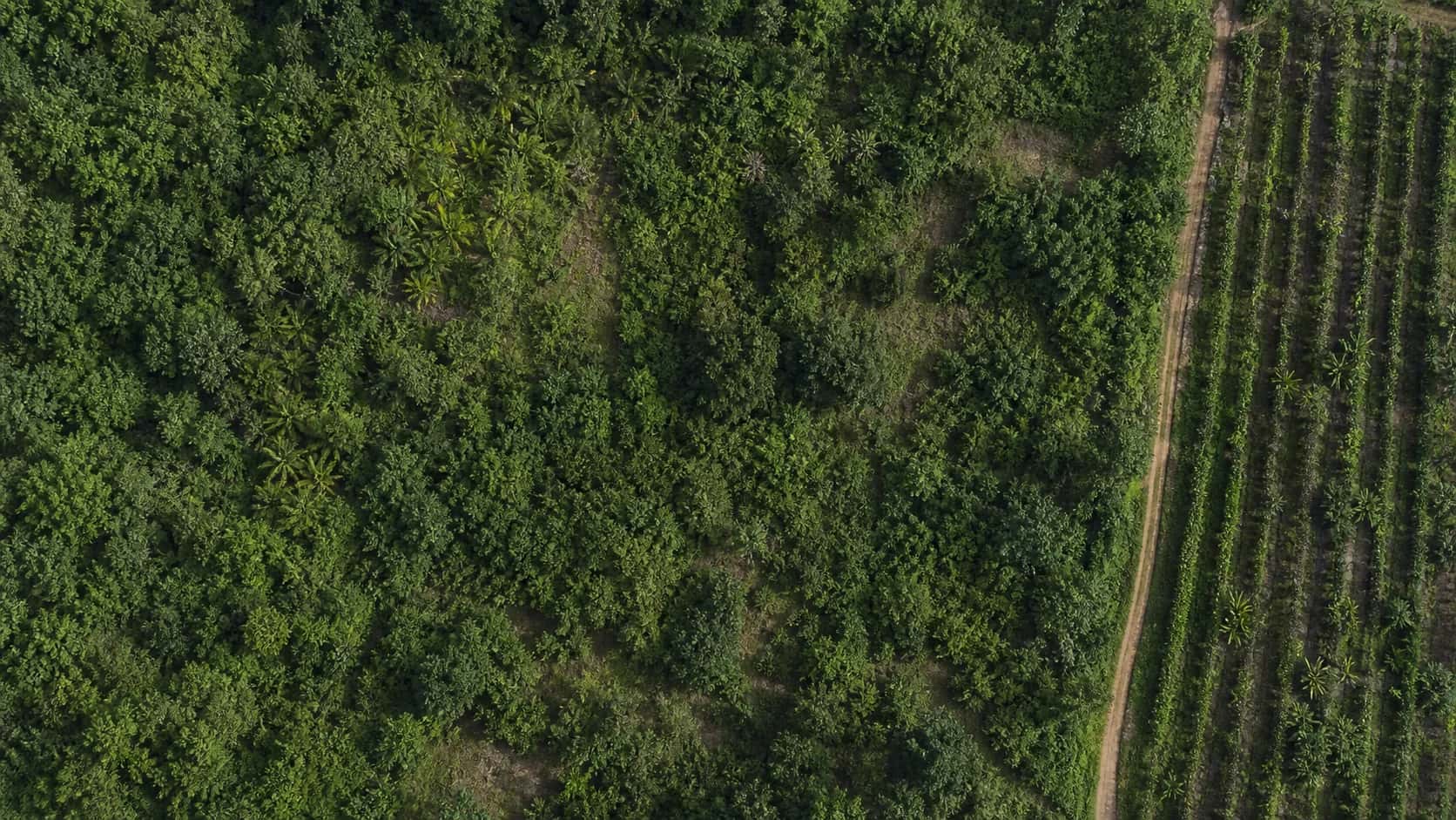 -4.6539, -74.0817
Start with the free browser tools, then preserve the full evidence trail in an authenticated Filing Case.
Admit bounded geolocation files, preserve the original, and surface format, CRS, geometry, and association issues.
Explore Geo ValidatorMap confirmed facts to versioned DDS fields while keeping missing, conflicting, or unconfirmed data visible.
Explore DDS PreflightCollect only missing fields, files, and plots through scoped, expiring tasks with clear visibility boundaries.
Explore Supplier PortalFreeze a reproducible technical package with data exports, evidence indexes, open issues, versions, and hashes.
Explore Filing PackFilovara prepares and checks technical evidence. It does not decide legal scope, certify compliance, submit to TRACES, or guarantee acceptance by a regulator.